

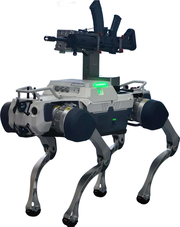
Base patrol, hazardous inspection, CBRN survey and precision engagement. Rated -20°C to +55°C and IP67, with LiDAR and stereo vision.
Technology platform
Integrated systems for persistent intelligence, secure data and physical response across air, orbit and ground.
01 / Airborne sensing
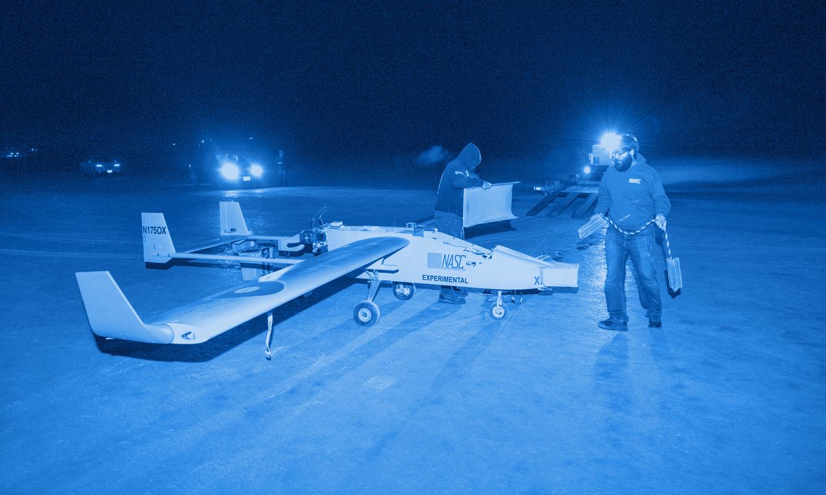
Orbital-grade radar imaging from tactical unmanned platforms, fully commercialised and compatible with DJI, ALLTECH and custom drone systems.
MiniSAR penetrates cloud cover, smoke and darkness for true 24/7 ISR. It mounts rapidly on standard drone interfaces and streams real-time encrypted data to ground control stations.
02 / Orbital sensing
An ultra-lightweight X-band phased array system engineered for small satellite and MicroSat integration.
Its miniaturised form factor does not compromise on capability. SmartSat-X delivers multi-mode SAR imagery from orbit, with electronic beam steering and no mechanical components.

03 / Autonomous ground force
Quadruped systems that extend tactical reach, reduce personnel exposure and deliver precision capability across complex terrain.

Base patrol, hazardous inspection, CBRN survey and precision engagement. Rated -20°C to +55°C and IP67, with LiDAR and stereo vision.
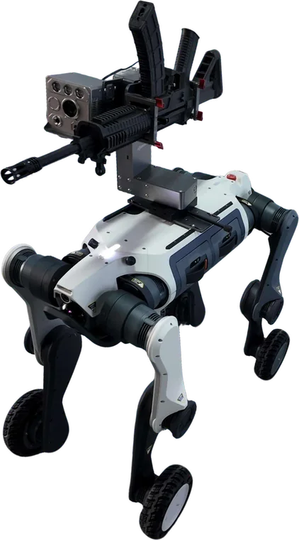
Urban security, rapid perimeter response, infrastructure protection and contested logistics with dynamic mode switching.
Where capability works
Persistent ISR, precision support and strategic asset monitoring.
GMTI-enabled vessel and vehicle tracking at sovereign scale.
Flood mapping, dam assessment and search-and-rescue support.
Long-term monitoring of pipelines, power networks and cities.
Deforestation, coastal erosion and agricultural health monitoring.
Next step
Bring us the operational requirement. We will map sensing, ground and data systems to it, with local manufacture and training built in.